Let me share with you a little bit about my current preoccupation called historical GIS.
Historical GIS can be defined as using geographical information systems to map and understand past landscape changes.
In the US, UK and Europe, integrating geography and history in GIS is now commonly done in this brand new field, which is about 10 years old.
In Malaysia, land use/ land cover studies using GIS are plenty but specific case studies on historical sites are still lacking.
As a geographer who has a keen interest in history, I figure I can contribute to this endeavour to enhance our Malaysian heritage knowledge.
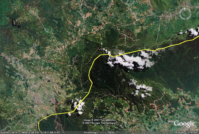
My current research is on the Penarikan in Jempol. Visit this site for more information:
http://www.esri.com/news/arcuser/1207/malaysia_land-use.html
Saturday, August 16, 2008

Subscribe to:
Posts (Atom)